logo image

Insurance Solutions

Formerly Moody’s RMS

overview

Actionable Hazard Insight

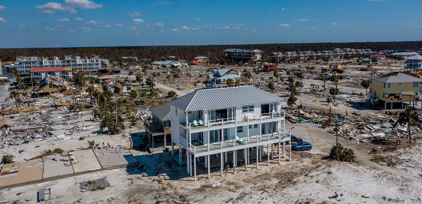
If claims data is the black-and-white information that drives property underwriting, then hazard data is the color that adds depth. Often used as a proxy for risk, hazard data yields decision-making insight by providing discrete information about the condition of a property that may impact its loss outcome.

Hazard data can provide clues about a property’s susceptibility to loss that wouldn’t otherwise be apparent in its historical loss experience.

Benefits

hazard

Leverage Our Science Expertise

Better underwriting requires better data, analysis, and expertise. Moody's employs seismologists, meteorologists, and hydrologists so you don’t have to. You can use Moody's Hazard Data to select, evaluate, and price catastrophe risk – bringing deep peril expertise directly to your underwriting specialists.

Ensure Data Consistency Across Departments

Moody's Hazard Data is native to industry-leading Moody's RMS models and can offer valuable insights to you when analyzing risks. Applying the same data within portfolio management, reinsurance decisions, and underwriting ensures that there is a consistent basis for all decisions across the risk management process.

Gain a View of Hazard Across the World

For companies operating in different areas of the world, or those that want to expand into other parts, Moody's offers hazard data across regions to help you evaluate risks broadly, save time, and gain efficiency. Whether you need to evaluate wildfire risk in California, flood risk in the United Kingdom, or earthquake risk in New Zealand, we make this possible via a very performant API.

Out-Select Competitors

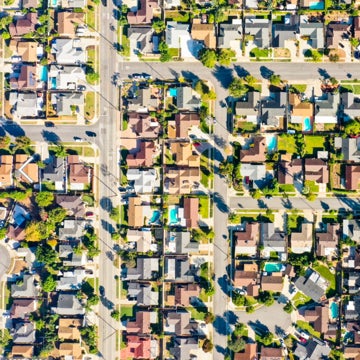
Different locations often look the same on paper, but are subject to very different hazards impacting their riskiness. Moody's Hazard Data can drive deep insights into the nature of the risks, enabling you to avoid adverse selection and improve risk decisions.

Hazard Data Examples

  • 250-year earthquake shake intensity
  • 100-year flood depth, defended and undefended
  • Soil condition
  • Liquefaction susceptibility
  • Flood, wind, wildfire zone

Hazard Data Examples (continued)

  • Distance to coast, earthquake fault, wildfire zone
  • Number of historical wildfires within 2, 5, 10 kilometers
  • First-floor height above ground
  • Likelihood of basement presence
  • And more

Related Solution

location-intelligence
Location Intelligence API

Gain better underwriting perspective with instant access to the world’s best catastrophe insights.

Contact Us

Learn more with a demo

close button
Overlay Image
Video Title

Thank You

You’ll be contacted by an Moody's RMS specialist shortly.