Power Up Your Risk Analytics
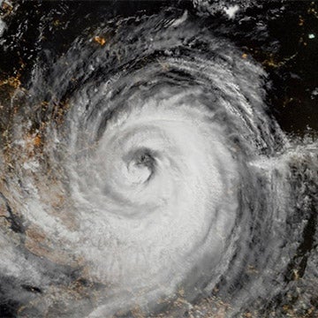
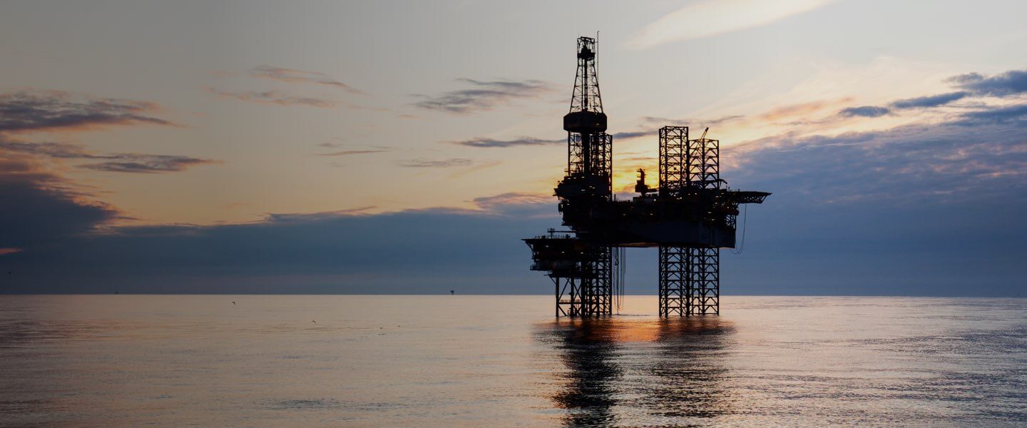
Evaluate the location-specific hurricane risk for offshore platforms, rigs, pipelines, and associated active wells.
Pinpoint Exposures
Locate offshore assets to a coordinate level for accurate vulnerability assessments.
Track Exposure
Stay on top of offshore exposure during hurricane season as you track hurricanes with monthly updates.
Customized Risk View
Accurately assess the impact of hurricanes to your unique structures.
Anchor Loss Estimates
Define and analyze damageability of offshore platform features with an advanced vulnerability modeling framework designed to meet the offshore energy sector’s needs.
Related Products


Regional and Country Offshore Platform Models
Regional Models
Click a region on the interactive map to see coverage.
Resources

Hurricane Ike: A Cross-Country Event
It's just over ten years to the day since Hurricane Ike made landfall near Galveston, Texas. Looking back at the 2008 North Atlantic hurricane season's activity, it was above-average with 16 named storms, eight of which reached hurricane strength, and five became major hurricanes (Cat 3 or greater). Hurricane Ike did reach Category 4 over the warm waters of the open Atlantic, but later weakened as it tracked along the Cuban coastline, never to fully regain its strength. At around 0710 UTC on Saturday, September ...

The Lessons From “Last Year’s” Catastrophes
Catastrophe modeling remains a work in progress. With each upgrade we aim to build a better model, employing expanded data sets for hazard calibration, longer simulation runs, more detailed exposure data, and higher resolution digital terrain models (DTMs). Yet the principal way that the catastrophe model “learns” still comes from the experience of actual disasters. What elements, or impacts, were previously not fully appreciated? What loss pattern is new? How do actual claims relate to the severity of the ha...

Better understand your offshore platform risk


