Sort by:
2023
September
Moody’s RMS Global Flood Data and Maps: Enhancem...

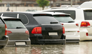
It has long been a Moody’s RMS goal to help clients assess flood risk globally, a goal realized in the fall of 2021 with the first version of…
2018
May
Geocoding: The Underappreciated Science of Catas...

“Geocoding”’ is the ability to assign descriptive address information to portfolio locations for the purposes of assessing hazard at a given…

Subscribe to Our Newsletter
