The Moody's insurance solutions blog
Get expert perspectives as our team weighs in on the latest events, topics, and insights to help you demystify risk and deepen resilience.

Snaefellsnes Peninsula, Iceland
Tag: high resolution
Filter by:
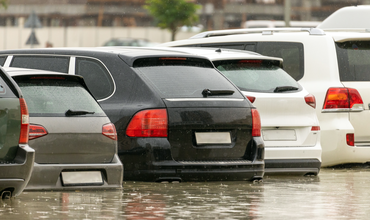
Moody’s RMS Global Flood Data and Maps: Enhancem...

It has long been a Moody’s RMS goal to help clients assess flood risk globally, a goal realized in the fall of 2021 with the first version of…
Geocoding: The Underappreciated Science of Catas...

“Geocoding”’ is the ability to assign descriptive address information to portfolio locations for the purposes of assessing hazard at a given…
